

Join us for a relaxed and creative day outdoors with Latino Outdoors! ¡Acompáñanos para un día relajado y creativo al aire libre con Latino
Hiking:
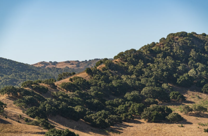
📍 Location: Badger Hills Trailhead @ Ft. Ord National Monument, Marina, CA
Parking and meeting location:
- Google maps: https://maps.app.goo.gl/Y6kxS8aMwh1rUiu79
- Apple maps: https://maps.apple/p/9MAKsj0dttYvBr
📍 Ubicación: Inicio del sendero Badger Hills @ Monumento Nacional Fort Ord, Marina, CA
Aparcamiento y punto de encuentro:
- Google Maps: https://maps.app.goo.gl/Y6kxS8aMwh1rUiu79
- Apple Maps: https://maps.apple/p/9MAKsj0dttYvBr
🥾 Distance & Format: About 5.5 miles as a loop trail, with a short break to rest and journal/doodle/reflect halfway through the hike. No previous hiking experience required. Bring comfortable shoes with good grip and ankle support, if possible. Dress in removable layers as it will get warmer as the day progresses. Bring a refillable water bottle. We will be providing a light snacks for breakfast and lunch.
🥾 Distancia y formato: Aproximadamente 5.5 millas en un recorrido circular, con una breve pausa a mitad del camino para descansar y dibujar/escribir/reflexionar. No se requiere experiencia previa en senderismo. Se recomienda traer zapatos cómodos con buen agarre y soporte para los tobillos, si es posible. Vístete en capas removibles, ya que el día se irá calentando. Trae una botella de agua reutilizable. Estaremos proporcionando bocadillos ligeros para el desayuno y el almuerzo.
⛰️ Elevation Gain: ~600 feet — generally easy terrain with some steep climbing for the first 2miles.
⛰️ Desnivel: ~600 pies — terreno generalmente fácil con algunas subidas empinadas durante las primeras 2 millas.